Large Campus & Portfolio Surveys
Aerial Drone Surveys
The Challenge of Multi-Building Documentation
Large commercial campuses — universities, hospital systems, industrial parks, distribution centers, and municipal facility portfolios — present a documentation challenge that traditional inspection methods cannot efficiently address. A campus with 20 buildings totaling 2 million sq ft of roof area would require weeks of ground-based inspection to document comprehensively. During a CAT event response, that timeline is completely impractical.
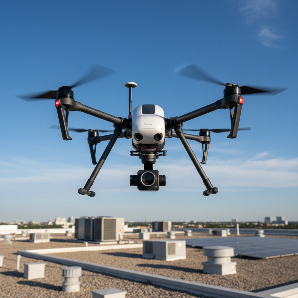
CDS drone survey teams are equipped and organized specifically for large-scale, multi-building deployment. Our FAA Part 107 certified pilots, radiometric thermal drone platforms, and centralized data processing capability allow us to survey and document large campuses and property portfolios at a pace and completeness that ground-based inspection cannot match.
Portfolio Triage: Prioritizing the Most Complex Losses
In a major CAT event affecting a large campus or portfolio, not every building has the same damage profile or the same claims urgency. One of the most valuable services CDS provides in multi-building deployments is rapid triage — using aerial visual and thermal surveys to quickly assess the damage profile of every building and prioritize the most severely affected for immediate ground-level investigation and documentation.
This triage capability allows adjusters and property managers to allocate investigative resources efficiently, ensuring that the buildings with the greatest loss potential receive the most detailed documentation first. Buildings with limited aerial evidence of damage can be scheduled for ground-level verification on a lower priority basis.
Standardized Documentation Across Every Building
One of the persistent challenges in multi-building claims is documentation inconsistency — different investigators, different methodologies, and different report formats across the portfolio make it difficult for adjusters and carriers to compare conditions across buildings or establish a portfolio-level picture of the loss.
CDS multi-building deployments use standardized flight parameters, data processing workflows, and report formats across every building in the portfolio. Each building receives an identical documentation package: georeferenced orthomosaic maps, thermal moisture maps, annotated damage imagery, and a standardized written findings summary. This consistency facilitates adjuster review, carrier negotiation, and legal proceedings at the portfolio level.
Industries We Serve for Campus Surveys
Healthcare Systems: Hospital campuses with multiple buildings, complex mechanical systems, and heightened occupancy sensitivity requirements.
Higher Education: University and college campuses with diverse building types ranging from historic structures to modern research facilities.
Industrial and Warehouse: Large-footprint single-story industrial buildings with extensive flat roofing systems particularly vulnerable to storm and moisture damage.
Municipal Facilities: Government building portfolios including administrative buildings, public safety facilities, and utility infrastructure.
Commercial Real Estate: Multi-property commercial real estate portfolios managed by institutional owners and REITs requiring consistent documentation standards.
Contact CDS for Portfolio Deployment
CDS has the capacity, equipment, and methodology to document large campus and portfolio losses efficiently and consistently. Contact our team at (303) 242-6361 to discuss your multi-building documentation needs.