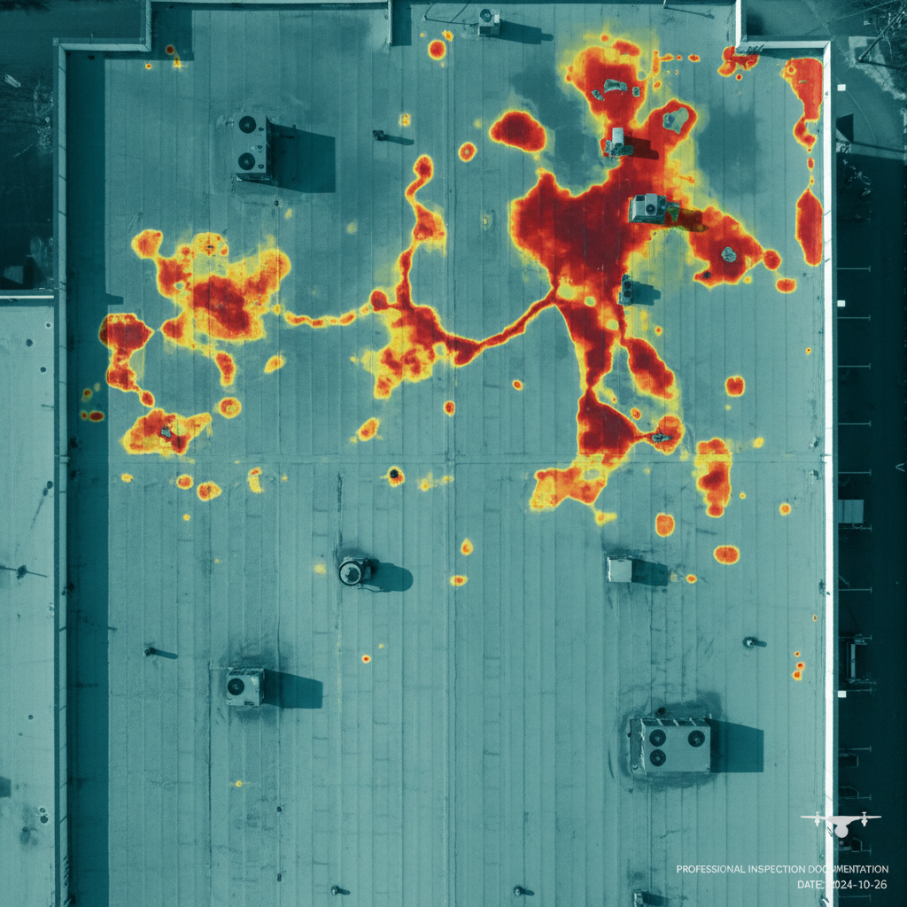
Advanced Aerial & Surface Inspection
We combine FAA Part 107 drone operations, radiometric thermal cameras, and Tramex DEC surface scanners to deliver the most comprehensive roof and building documentation in the industry.
Roof Thermal Moisture Mapping
Radiometric thermal drone surveys detect subsurface moisture trapped in roofing assemblies — invisible to the naked eye — enabling precise, cost-effective damage documentation.
Tramex DEC Surface Scanning
Our Tramex Deck & Roof scanner provides non-destructive capacitance-based moisture readings across flat and low-slope roofs, validating thermal findings with quantitative data.
High-Resolution Aerial Imaging
4K aerial photography and video captures the full extent of roofing, facades, and structural conditions — ideal for large commercial, industrial, and municipal properties.
Orthomosaic Mapping
Drone photogrammetry produces geo-referenced orthomosaic maps and 3D models for precise area calculations, scope development, and defensible claims documentation.
Building Envelope Inspection
Detailed visual inspection of roofing, cladding, parapets, skylights, and drainage systems — identifying damage patterns, deficiencies, and moisture entry points.
Comprehensive Reporting
Annotated thermal and visual reports with GPS-tagged findings, moisture extent diagrams, and professional narratives to support accurate claim valuation.
Thermal Drone + Tramex DEC: The Gold Standard
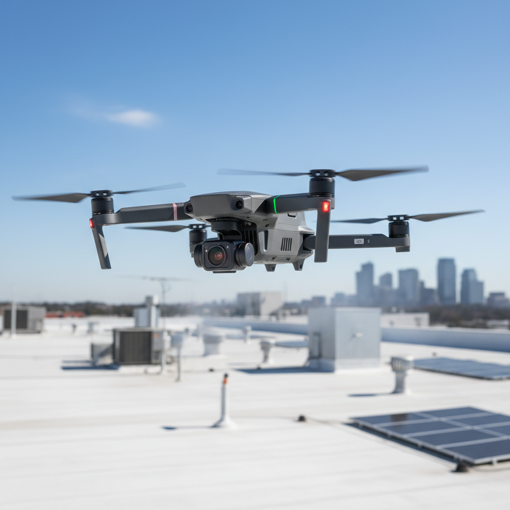
Radiometric Thermal Drone Surveys
Using FLIR-equipped drones, we capture radiometric thermal imagery of roofing assemblies during optimal temperature delta windows — typically 1–2 hours after sunset. Wet insulation retains heat differently than dry material, creating detectable thermal anomalies.
Thermal surveys rapidly cover large roof areas — 100,000+ sq ft in hours — producing georeferenced heat maps that document moisture extent with precision unavailable through traditional probing methods.
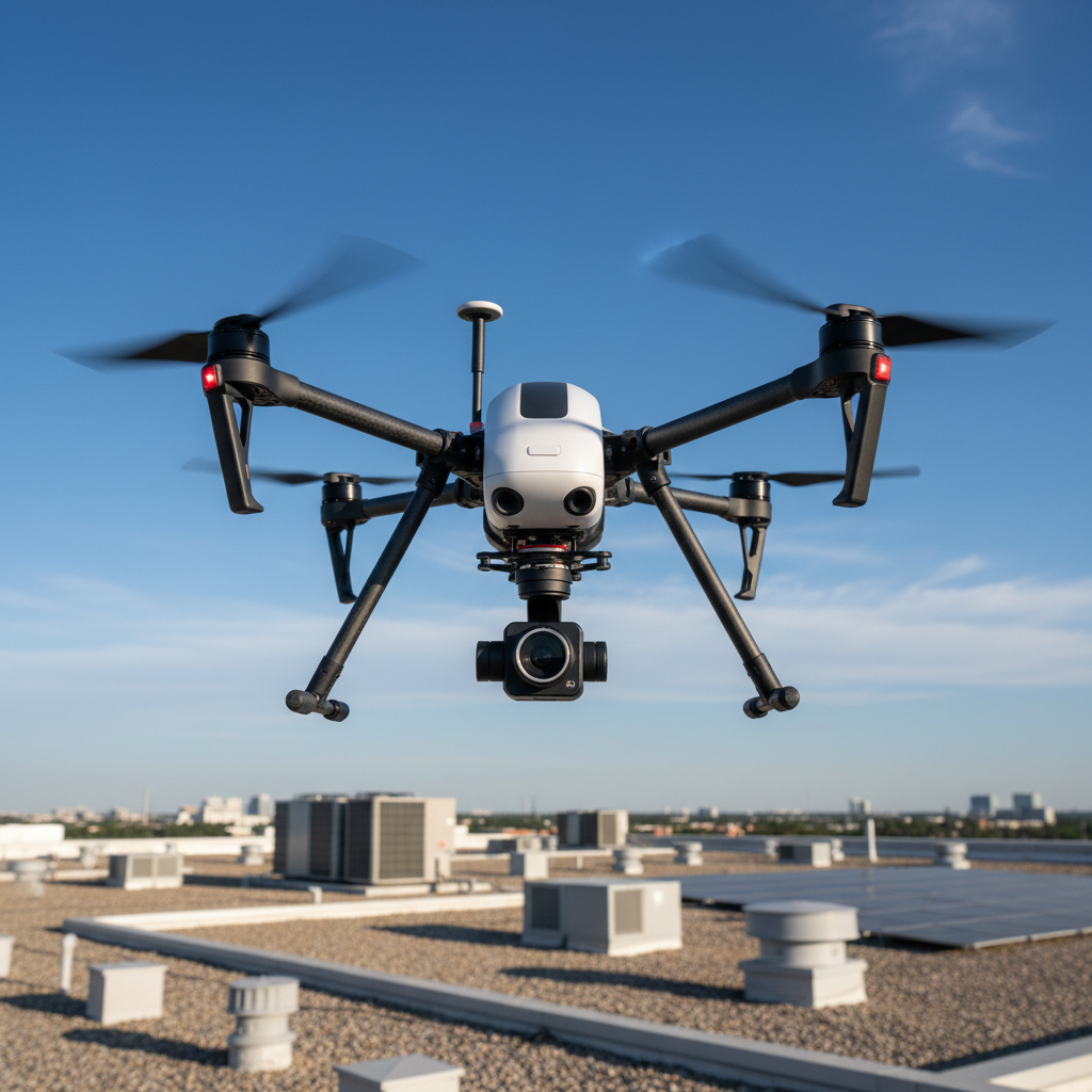
Tramex DEC Deck & Roof Scanner
The Tramex DEC Scanner uses non-destructive radio frequency technology to detect moisture within roofing assemblies from the surface — no cores, no probes, no damage. It provides quantitative moisture readings with a rolling scan that maps exact wet zones.
Used in tandem with thermal drone surveys, the Tramex DEC provides ground-truth validation of thermal anomalies, producing a corroborated dataset that stands up to carrier scrutiny and appraisal challenges.
How We Conduct Drone Surveys
Pre-Flight Planning
FAA airspace authorization, site coordination, and survey grid planning to ensure complete coverage of all roof areas.
Visual Aerial Survey
High-resolution 4K visual documentation of all roof surfaces, penetrations, drainage, parapets, and building envelope conditions.
Thermal Drone Survey
Radiometric thermal imaging during optimal temperature delta window to identify all moisture-laden insulation zones.
Tramex DEC Surface Scan
Non-destructive capacitance scanning of thermally-identified anomaly areas to quantify and validate moisture presence.
Data Processing & Mapping
Orthomosaic processing, thermal analysis, and moisture zone mapping with GPS coordinates overlaid on roof plans.
Comprehensive Report
Detailed findings report with annotated imagery, moisture extent diagrams, and professional narrative supporting the claim.
When You Need Drone Survey Services
The Value of Aerial Drone Documentation
Drone surveys eliminate the limitations of ground-based inspection — delivering faster, safer, and more complete data to support fair and accurate large-loss claim settlements.
Safe, non-destructive inspection with no need for lifts or scaffolding
Rapidly survey large roof areas in a fraction of traditional inspection time
Detect subsurface moisture before visible interior damage appears
Validate Tramex DEC readings with thermal imaging for defensible evidence
GPS-tagged findings linked directly to CAD and scope documents
Reduce claim disputes with objective, data-rich aerial documentation
Deploy rapidly post-storm for immediate catastrophic loss assessment
Fully FAA Part 107 certified operations nationwide